Copper Canyon (Barrancas del Cobre): A Traveler’s Guide
Many travelers arrive in Mexico and immediately head for the turquoise waters of the coast, only to realize later that they completely bypassed one of the most profound geological and cultural wonders of the world. Planning a trip to the Copper Canyon often feels like an administrative nightmare because of confusing train schedules and the sheer remoteness of the Sierra Tarahumara. This guide eliminates that frustration by providing a realistic, boots-on-the-ground roadmap for your adventure.
Disclosure: This post may contain affiliate links. We may earn a commission at no extra cost to you if you make a purchase through these links. Read full disclosure.
Understanding the Scale and Geography of Barrancas del Cobre
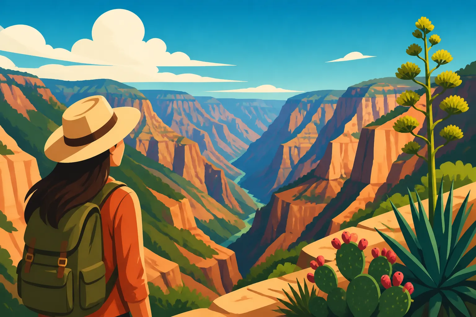
When people talk about the Copper Canyon, they often mistakenly assume it is a single canyon, similar to the Grand Canyon in the United States. In reality, the Barrancas del Cobre is a massive system of six distinct canyons that, when combined, are roughly four times larger and significantly deeper than the Grand Canyon. This is a sprawling, rugged landscape in the heart of the Sierra Madre Occidental, and if you don't respect its scale, you will find yourself spending your entire vacation behind a train window rather than experiencing the land.
The name "Copper Canyon" actually refers specifically to the green-copper hue of the canyon walls, which are often covered in lichen and moss rather than actual copper ore. Understanding this geography is the first step in planning. You aren't just visiting a "site"; you are traversing an entire region that transitions from high-altitude alpine forests with towering pines to tropical, humid environments at the canyon floors. This verticality means that you can be shivering in a jacket at the rim in the morning and sweating in a t-shirt by the time you reach the river at the bottom in the afternoon.
The Major Canyons of the System
To truly appreciate the region, you have to look at the individual canyons like Urique, Sinforosa, and Batopilas. Urique is perhaps the most famous, being the deepest canyon in the system and home to the ultra-marathon runners of the Rarámuri people. Sinforosa is often called the "Queen of the Canyons" due to its sheer dramatic drops and relative isolation. If you are looking for a deep-dive adventure, you’ll likely want to base yourself near these specific spots rather than just staying on the main train line.
Most tourists stick to the rim at Divisadero, but the real magic happens when you venture into the depths. Each canyon has its own microclimate and history. For example, the Batopilas Canyon was once a center for silver mining, and the town at the bottom feels like a lost colonial relic. When you're looking at Getting Around Mexico: Buses, Flights, and Car Hire, keep in mind that reaching the bottom of these canyons often requires high-clearance vehicles and a lot of patience.
Climate Variations and Vertical Weather
One of the most frequent mistakes I see travelers make is packing only for the "Mexican sun." The Sierra Tarahumara is high-altitude territory. Creel, a common base for travelers, sits at about 7,600 feet (2,300 meters). In the winter, it regularly snows here. I’ve spent nights in mountain lodges where the only heat source was a wood-burning stove, and believe me, you’ll want those layers.
Conversely, as you descend toward the canyon floor, the temperature can rise by 20 or 30 degrees Fahrenheit. This "vertical weather" is a constant factor. If you are Staying Healthy in Mexico: Essential Tips for Food, Water, and Preventive Care, you must account for the rapid changes in pressure and temperature, which can take a toll on your body if you aren't hydrated or properly dressed. The best time to visit is typically the shoulder seasons—October and November offer lush green views after the rainy season, while March and April provide clear skies before the summer heat becomes oppressive.
Navigating the El Chepe Train Experience
The Ferrocarril Chihuahua al Pacífico, affectionately known as "El Chepe," is the lifeline of the Copper Canyon. It is widely considered one of the most beautiful train rides in the world, featuring 86 tunnels and 37 bridges. However, booking it is where the headache begins. There are now two distinct services: the Chepe Express and the Chepe Regional. If you get these confused, you might end up on a train that doesn't stop where you want to go or one that costs triple your budget.
The Chepe Express is the luxury tourist version. It features a dining car, a bar with a terrace, and large panoramic windows. It only stops at the major tourist hubs like Creel, Divisadero, and El Fuerte. The Chepe Regional is the local workhorse. It is slower, much cheaper, and stops at every tiny village along the way. While the Regional is theoretically for locals, many savvy travelers prefer it for the authentic experience, though it requires more flexibility and a better grasp of Spanish Language and Everyday Communication for Visitors.
Differences Between Chepe Express and Regional
The Chepe Express is designed for those who want a seamless, high-end experience. It’s perfect if you have limited time and want to see the "greatest hits" without worrying about the logistics of local transit. You can find many organized tours through Viator that build their itineraries around the Express schedule, which can save you the stress of trying to navigate the official booking website—which, quite frankly, is often glitchy and difficult for foreigners to navigate.
The Chepe Regional, on the other hand, is where you see the real Mexico. You’ll see Rarámuri families traveling between villages, vendors selling gorditas through the windows, and a much slower pace of life. However, be warned: the Regional schedule is notorious for delays. If you have a flight to catch in Chihuahua city, do not rely on the Regional train getting you there on time. For those looking to bridge the gaps between train stops, I often suggest checking Busbud to see if there are local bus alternatives that might be more reliable for specific legs of your journey, such as getting from Chihuahua to Creel.
Booking Logistics and Strategy
You cannot simply show up at the station and buy a ticket for the Chepe Express during peak season. You need to book weeks, if not months, in advance. The process usually involves an email exchange or a phone call to the offices in Chihuahua or Los Mochis. If you aren't comfortable doing this in Spanish, this is where a travel agency or a platform like Viator becomes invaluable. They handle the "tramites" (administrative hurdles) so you don't have to.
A common strategy is to take the train "downhill" from Creel to Los Mochis. This direction is generally considered more scenic as you hit the most dramatic bridges and tunnels during the daylight hours. However, going "uphill" from the coast into the mountains has its own charm, especially as the air cools and the scenery shifts from cactus-filled plains to thick pine forests. Regardless of the direction, make sure you sit on the right-hand side of the train when heading toward the coast for the best views of the Septentrión River.
Key Stops and Where to Stay in the Sierra
Choosing where to get off the train is just as important as the train ride itself. If you stay on the train the whole time, you’ve basically just watched a very long movie. You need to "break" your journey. I recommend at least two or three nights at different stops to really feel the rhythm of the Sierra. Each stop offers a vastly different vibe, from the "Magic Town" of Creel to the edge-of-the-world feel of Divisadero.
When looking for accommodation, I highly recommend using Booking.com to compare the mountain lodges. Many of these places are family-run and don't have their own high-tech reservation systems, so having the security of a third-party booking can prevent the "lost reservation" drama that sometimes happens in rural Mexico. Look for places that mention "calefacción" (heating) if you are traveling between November and March.
Creel: The Gateway to the Sierra
Creel is one of Mexico's Pueblos Mágicos: Mexico's Magic Towns Explained, and for good reason. It serves as the main hub for the region. From here, you can rent mountain bikes, hire a guide for the day, or take a van to the nearby Valley of the Monks, which features incredible rock formations. It’s a bustling little town where you can really start to see the intersection of modern Mexican life and traditional Rarámuri culture.
While in Creel, you’ll find plenty of opportunities for Bargaining at Mexican Markets: Etiquette and Tips as Rarámuri women sell their intricately woven pine-needle baskets in the main plaza. Don't be the tourist who tries to haggle over a few pesos; these baskets represent hours of labor. Creel is also a great place to try local northern specialties, as Mexican Regional Cuisine: How Food Changes Across Mexico is quite distinct here, focusing on dried meats (machaca), flour tortillas, and local cheeses.
Divisadero: Standing on the Edge
If you only have time for one stop, make it Divisadero. This is where the three major canyons—Urique, Tararecua, and del Cobre—all meet. The view from the rim is dizzying and absolutely unforgettable. Most people just get off the train for the 20-minute "viewing stop," but that is a tragedy. Staying overnight allows you to see the sunrise and sunset over the canyons, which is a spiritual experience in itself.
Divisadero is also home to the Parque de Aventura Barrancas del Cobre. If you’re an adrenaline junkie, they have one of the longest zip lines in the world and a "Via Ferrata" that involves rappelling and rock climbing. For those who prefer something calmer, the cable car offers a stunning perspective without the terror. When staying here, remember that water is a precious resource. The lodges on the rim often have to truck water in, so be mindful of your usage. This is also a very cash-heavy area, so check Cash vs Card in Mexico: What Visitors Should Know before you head up the mountain, as ATMs are practically non-existent in Divisadero.
Cultural Immersion and the Rarámuri People
You cannot visit the Copper Canyon without acknowledging the Rarámuri (also known as Tarahumara). They are one of the most resilient and culturally intact indigenous groups in North America. Known globally for their incredible long-distance running abilities—often running hundreds of miles in sandals made of old tire treads—they have a deeply complex relationship with the land.
As a visitor, it is your responsibility to be respectful. The Rarámuri are generally very private people. They are not there for your photo op. I’ve seen far too many tourists shove cameras in the faces of children or women without asking. In many Rarámuri communities, there is a belief that a photograph can capture a piece of the soul. Always ask "regeto?" (respect) or at least ask in Spanish before taking a photo, and be prepared for them to say no.
The Legend of the Runners
The word Rarámuri literally means "those who run fast" or "the foot-runners." For them, running isn't just a sport; it’s a way of communication, hunting, and spiritual practice. They live in a way that is profoundly "slow" by Western standards, but they move through the canyons with a speed and grace that defies logic. If you are lucky enough to be in the region during a community race (Rarajipari), you will see the entire village come out to bet, cheer, and support the runners.
Understanding their culture also means understanding their challenges. The Sierra Tarahumara has faced severe droughts and displacement. When you visit, try to support local cooperatives. If you are Tipping in Mexico: When and How Much, remember that in these remote areas, your generosity can go a long way, but it should be done with dignity. Buying crafts directly from the artisans is always the best way to contribute to the local economy.
Etiquette in the Sierra
Westerners are often loud, and the Sierra is a very quiet place. When you are hiking or visiting Rarámuri sites, keep your voice down. There is a concept called "Kórima" in their culture, which roughly translates to a shared circle of giving and receiving. It isn't charity; it’s the idea that if you have more than you need, you share it with the community, and one day, the community will share with you.
If you are How to Travel Between Cities in Mexico by Bus or taking local tours, you might be invited into a Rarámuri home (often a cave or a simple stone structure). If offered food or drink, like "tesgüino" (fermented corn beer), it is polite to take at least a small sip. Refusing can be seen as a rejection of their hospitality. However, be aware of your own stomach's limits and refer to Staying Healthy in Mexico: Essential Tips for Food, Water, and Preventive Care for advice on local ferments.
Practical Logistics and Safety for the Trip
Traveling through Chihuahua and Sinaloa (the two states the train traverses) often brings up safety concerns. While it is true that these states have a history of cartel activity, the tourist corridor of the Copper Canyon is generally considered safe for foreigners. The government and local communities have a vested interest in keeping the Chepe route secure. That said, you shouldn't be wandering off into unmarked trails or driving at night.
Your biggest safety risks are actually environmental. Dehydration, sunstroke, and twisted ankles on rugged trails are far more common than any security issues. The terrain is unforgiving. If you are planning a multi-day hike, you must hire a local guide. I cannot stress this enough. The trails are not well-marked, and the "shortcut" you see on a map might actually be a 1,000-foot cliff. You can find vetted hiking guides on Viator who know the paths and the local landowners.
Budgeting for Your Adventure
The Copper Canyon is not the cheapest part of Mexico. Between the train tickets, the specialized mountain lodges, and the cost of guided tours, the prices can add up quickly. It is essential to budget correctly before you arrive, as you won't find many opportunities to "cheap out" once you are deep in the mountains.
| Expense Item | Estimated Cost (USD) | Notes |
|---|---|---|
| Chepe Express Ticket (Full Route) | $150 – $250 | Depends on class (First/Executive) |
| Mountain Lodge (Mid-range) | $80 – $150 | Per night, often includes breakfast |
| Guided Day Tour | $40 – $70 | Per person, varies by activity |
| Local Meals | $10 – $20 | Per day if eating at local spots |
| Adventure Park Pass | $30 – $60 | Depends on how many zip lines you do |
When planning your finances, read Travel Logistics in Mexico: Safety, Money, and Connectivity to ensure you have the right mix of cash and backup payment methods. Most hotels in Creel will take cards, but the artisan in Divisadero or the guide in Batopilas will definitely need pesos.
Connectivity and Technology
Do not expect to have reliable 4G or 5G in the Sierra Tarahumara. Once the train leaves the station and enters the tunnels, your signal will disappear. Most hotels have Wi-Fi in the common areas, but it is often slow and satellite-based. If you are a digital nomad, this is your time to disconnect. I’ve seen people get incredibly frustrated trying to join Zoom calls from the rim of the canyon—it just isn't going to happen.
Download your maps for offline use and keep your How to Choose Safe Neighborhoods to Stay in Mexico guide handy in case you spend a night in Chihuahua city or Los Mochis before or after the train. Having a physical book or a downloaded guide is much better than relying on a cloud-based app that won't load when you're standing at a fork in the trail.
Sample 5-Day Copper Canyon Itinerary
If you’re feeling overwhelmed by the options, here is a realistic 5-day itinerary that balances the train ride with actual exploration. This "downhill" route starts in Chihuahua and ends in the coastal town of El Fuerte.
- Day 1: Arrival in Chihuahua City. Spend the afternoon exploring the historical center. Visit the Pancho Villa Museum and get a good night's sleep. Use Booking.com to find a hotel near the Plaza de Armas.
- Day 2: Chihuahua to Creel. Take a morning bus or the train to Creel. Check into your lodge and spend the afternoon at the Valley of the Monks.
- Day 3: Creel to Divisadero. Take the morning train to Divisadero. Spend the afternoon at the Adventure Park. Watch the sunset from the balcony of your hotel.
- Day 4: Divisadero to El Fuerte. This is the most scenic part of the train ride. You’ll cross the highest bridges and go through the longest tunnels. Arrive in the colonial town of El Fuerte in the late afternoon.
- Day 5: El Fuerte and Departure. Take a morning boat tour on the Fuerte River to see the petroglyphs and migratory birds. From here, you can take a bus or taxi to the airport in Los Mochis.
This itinerary covers the essentials without feeling rushed. If you have more time, add two days in Batopilas to experience the tropical bottom of the canyon. If you are doing the return leg by bus, check How to Travel Between Cities in Mexico by Bus for the most efficient routes back to your starting point.
Disclaimer
This guide is for informational purposes only. Traveling in remote areas of Mexico carries inherent risks, including environmental hazards and changing security situations. Always check the latest travel advisories from your home country and local Mexican authorities before embarking on your journey. The author is not responsible for any changes in train schedules, prices, or local conditions. All brand mentions are based on personal experience and regional reliability.