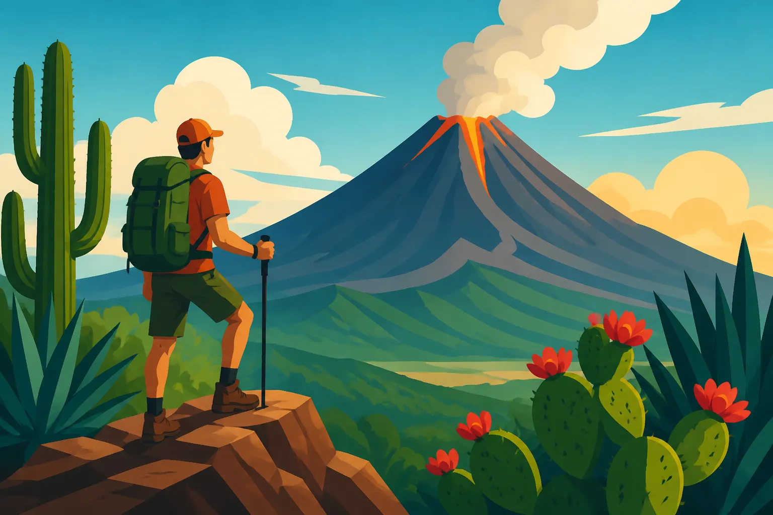
Hiking and Volcanoes in Mexico
Most tourists arrive in Mexico and never make it past the beach club or the historic center, completely missing the fact that this country is home to some of the most dramatic volcanic peaks in the world. Scaling these giants often involves navigating confusing permits, unpredictable mountain weather, and the physical toll of extreme elevation. This guide solves those administrative and logistical headaches, providing a realistic roadmap for conquering Mexico’s volcanoes and hidden trails safely.
Disclosure: This post may contain affiliate links. We may earn a commission at no extra cost to you if you make a purchase through these links. Read full disclosure.
The Volcanic Heartland: Scaling Mexico’s Sleeping Giants
The Trans-Mexican Volcanic Belt is the jagged spine of the country, offering peaks that rival the Alps and the Rockies. If you are looking for Outdoor Adventures and Nature in Mexico, there is nothing quite like standing above the clouds on a dormant cinder cone. However, these aren't your average weekend strolls. Scaling a Mexican volcano requires respect for the altitude and an understanding that the terrain can change from dusty volcanic ash to slick ice in a matter of minutes.
Pico de Orizaba: The Rooftop of Mexico
At 5,636 meters (18,491 feet), Pico de Orizaba is the highest point in Mexico and the third-highest in North America. For many serious hikers and mountaineers, this is the "Holy Grail" of Mexican trekking. It is a technical climb, especially if you take the Jamapa Glacier route on the north side. As an expat who has looked up at its snow-capped peak from the heat of the Veracruz lowlands, I can tell you that the contrast is mind-bending. You will need crampons, ice axes, and a very slow acclimatization schedule.
The logistical challenge here is getting to the base camp at Piedra Grande. Most people start in the town of Tlachichuca, where specialized 4×4 transport is required to reach the hut. Do not attempt to drive a standard rental car up there; you will likely lose your transmission and your deposit. Because of the technical requirements, many climbers prefer to book through platforms like Viator to find certified mountain guides who provide the necessary gear and high-clearance transport, ensuring you don't end up stranded on a remote logging road.
Iztaccihuatl: The Sleeping Woman Trek
Iztaccihuatl, or "Izta," is the iconic "Sleeping Woman" peak located right next to the active Popocatépetl. While "Popo" is strictly off-limits due to its constant volcanic activity, Izta offers a grueling but rewarding non-technical climb. The most popular route is "La Arista del Sol" (The Ridge of the Sun), which takes you across the "knees," "stomach," and "chest" of the mountain. It is a long, high-altitude slog that rewards you with incredible views of the smoking Popocatépetl just a few kilometers away.
The biggest frustration for newcomers is the entrance to the Izta-Popo Zoquiapan National Park. You have to register at the park office in Amecameca or at the Paso de Cortés. I have seen many hikers turned away because they arrived too late or didn't have the proper permits. The park rangers are strict about safety, and for good reason—the weather at 5,000 meters is unforgiving. If you are coming from Mexico City, you can use Busbud to find reliable bus routes to Amecameca, though you'll still need to arrange local transport or a taxi to reach the actual trailhead at La Joya.
Nevado de Toluca: The Most Accessible Volcanic Beauty
If you aren't ready for a multi-day glacier expedition, Nevado de Toluca is your best bet. It is the only volcano in Mexico where you can drive (almost) into the crater. Inside the crater are two stunning turquoise lakes: the Lake of the Sun and the Lake of the Moon. Walking along the crater rim provides a high-altitude experience without the need for specialized climbing equipment, although the thin air will still make your lungs burn.
Even though it feels more accessible, don't let its proximity to the city fool you. The parking area is over 4,000 meters high, which is a prime zone for Altitude Sickness in Mexico: Tips for Adjusting to High Elevations. I’ve seen many expats underestimate the cold here; even if it's a sunny 25°C in Toluca, it can be near freezing with biting winds at the crater. It is essential to check if the park is open before you go, as the road is frequently closed during the winter months due to snow or ice.
Essential Logistics and Planning for Mexican Trails
Planning a trek in rural Mexico is vastly different from booking a hike in a US National Park. There is no centralized digital booking system for most huts, and "trail markers" are often just piles of rocks (apachetas) or ribbons tied to trees that may or may not be current. You have to be comfortable with a bit of ambiguity and be prepared to do a lot of your own legwork before you even lace up your boots.
Transportation and Getting to Remote Trailheads
Public transportation in Mexico is excellent for getting between cities, but it rarely goes all the way to a trailhead. If you are planning to visit the volcanic belt, you can use Busbud to book your primary legs from Mexico City to towns like Toluca, Puebla, or Amecameca. These hubs are the jumping-off points where the real logistical fun begins. From the bus station, you will often need to negotiate with local taxi drivers or find a "colectivo" (shared van) that is heading toward the mountain villages.
For those who prefer a bit more control, renting a car is an option, but be warned that many roads leading to volcanoes are unpaved and riddled with potholes. If your destination is a major park like Nevado de Toluca, a standard car is fine for the paved sections, but for others, a 4WD is a non-negotiable safety requirement. Always download offline maps before you leave the city, as cell service disappears the moment you start climbing into the pines.
Finding Reliable Guides and Guided Tours
Unless you are a seasoned mountaineer with experience in high-altitude Mexican terrain, hiring a guide is the smartest move you can make. Local guides understand the micro-climates and have direct lines to the park rangers if something goes wrong. Finding a guide used to involve showing up in a village and asking around, but now you can find reputable local operators through Viator, which allows you to read reviews from other travelers. This is particularly helpful for ensuring your guide actually speaks English if your Spanish is still a work in progress.
A guide doesn't just show you the way; they handle the complex logistics of permits and base camp meals. In Mexico, many of the best trails cross through "ejidos" (communal lands), and local residents may charge a small, informal fee for passage. Having a guide who is part of the local community avoids any awkward confrontations or "lost in translation" moments regarding land access. It also provides a layer of security, as they know which areas are currently safe and which should be avoided due to local activity.
Where to Stay: Mountain Lodges vs. City Bases
Your choice of accommodation will make or break your summit attempt. For peaks like Iztaccihuatl or Orizaba, you will likely spend at least one night in a rustic mountain hut or a tent to acclimatize. These huts are basic—think wooden bunks and no heating. However, for the days leading up to and following your hike, you’ll want a bit more comfort. Using Booking.com is the easiest way to find boutique haciendas or comfortable hotels in nearby towns like Cholula or Toluca.
I always recommend staying in a town with a slightly higher elevation than sea level for at least two nights before your climb. For example, if you are aiming for Nevado de Toluca, staying in the city of Toluca (2,660m) is far better for your red blood cell count than staying in Mexico City (2,240m). Using Booking.com allows you to filter for properties with secure parking, which is vital if you are traveling with a car full of expensive hiking gear. Don't leave your backpacks visible in the backseat while you grab a taco; it’s a rookie mistake that can end your trip prematurely.
Safety, Health, and Environmental Considerations
The beauty of Mexico’s wilderness is often accompanied by a lack of formal emergency infrastructure. When you are deep in the Sierra Norte or high on a volcanic ridge, you are largely responsible for your own safety. Validating the fear many foreigners have, yes, the rescue services in rural areas are not always as rapid or high-tech as those in Europe or North America. Being prepared isn't just a suggestion; it's a survival strategy.
Managing Altitude Sickness on High-Elevation Climbs
The most common "injury" on Mexican volcanoes isn't a broken ankle—it’s acute mountain sickness (AMS). Because the peaks are so accessible, people often try to go from sea level to 4,000+ meters in a single day. This is a recipe for disaster. If you start feeling a throbbing headache, nausea, or extreme fatigue, you must descend immediately. There is no "toughing it out" when it comes to cerebral or pulmonary edema.
I highly suggest reading up on Medical Emergencies in Mexico: What Expats Should Know and Prepare before you head out. It’s also wise to carry "sorojchi" pills or acetazolamide (Diamox), which can be bought at most local pharmacies. However, nothing replaces a proper acclimatization schedule. Spend a few days doing light walks at moderate altitudes before attempting a summit. Remember, the goal is to enjoy the view, not to see how quickly you can develop a migraine at 15,000 feet.
Weather Patterns and the Best Time for Hiking
In central Mexico, the weather is defined by the dry season and the rainy season. For high-altitude hiking, the dry season (November to March) is the prime window. The skies are generally clear, and the trails are stable. However, this is also when it is coldest. Nighttime temperatures on the volcanoes can easily drop to -10°C (14°F). If you are hiking in the summer, you have to deal with the "afternoon deluge."
Rain in the Mexican highlands usually starts around 2:00 PM or 3:00 PM like clockwork. If you haven't reached your destination by then, you will likely be caught in a violent thunderstorm with heavy hail. Lightning is a very real threat on exposed ridges. As a veteran of these trails, my rule is: start at 4:00 AM, and be off the summit by noon. It might sound painful to wake up that early, but watching the sunrise over the clouds from a volcanic rim is a memory you will keep forever.
Staying Healthy and Preventive Trail Care
Basic hygiene on the trail is another area where many expats run into trouble. You must be extremely careful with your water source. Even "fresh" mountain springs can be contaminated by local livestock. Always stick to the rule: Is Tap Water Safe to Drink in Mexico? No, and that includes many mountain streams. Use a high-quality water filter or purification tablets for every liter you consume.
Furthermore, Staying Healthy in Mexico: Essential Tips for Food, Water, and Preventive Care applies double in the wilderness. If you get "Montezuma's Revenge" while you are halfway up a mountain, it’s not just uncomfortable—it can lead to severe dehydration. Pack rehydration salts and a basic course of antibiotics just in case. If a situation turns serious, you need to know how Emergency Medical Services in Rural Mexico: Challenges and Tips for Expats function, as they often rely on local volunteers or the Red Cross (Cruz Roja) rather than a centralized government helicopter service.
| Hike Location | Peak Elevation | Difficulty | Best Months | Primary Access Town |
|---|---|---|---|---|
| Pico de Orizaba | 5,636m | Extreme (Technical) | Nov – March | Tlachichuca, Puebla |
| Iztaccihuatl | 5,230m | High (Non-technical) | Nov – April | Amecameca, EdoMex |
| Nevado de Toluca | 4,680m | Moderate | Oct – May | Toluca, EdoMex |
| Malinche | 4,461m | Moderate / Hard | Year-round | Huamantla, Tlaxcala |
| Parícutin | 2,800m | Easy / Moderate | Year-round | Angahuan, Michoacán |
Hidden Gems Beyond the Volcanic Belt
While the volcanoes grab the headlines, Mexico offers incredible trekking in its northern canyons and southern highlands. These areas offer a completely different ecosystem, moving from the alpine tundra of the volcanoes to the deep subtropical forests and arid desert canyons. If you really want to see the diversity of the country, you have to look beyond the "Big Three" peaks.
Copper Canyon: Hiking the Great Chasm of the North
The Copper Canyon (Barrancas del Cobre) in Chihuahua is actually a series of six distinct canyons that are, combined, larger and deeper than the Grand Canyon in the USA. This is the ancestral home of the Rarámuri (Tarahumara) people, world-renowned long-distance runners. Hiking here is a journey through vertical climate zones. You start at the rim in a cool pine forest and descend thousands of feet into a tropical canyon floor where oranges and mangos grow.
For a detailed breakdown of this region, check out Copper Canyon (Barrancas del Cobre): A Traveler's Guide. The logistical trick here is the "Chepe" train, which connects the main towns. You can hike between stations, but the trails are often unmarked and very steep. It is highly recommended to hire a local Rarámuri guide. Not only do they know the trails, but it’s a way to support the local community directly. The heat at the bottom of the canyon can be oppressive, so timing your hike for the spring or autumn is essential.
The Sierra Norte of Oaxaca: Community-Led Trekking
Oaxaca is famous for its mole and mezcal, but the Sierra Norte mountains offer some of the best-managed hiking in the country. A group of villages known as the "Pueblos Mancomunados" has created a network of eco-tourism trails that connect various Zapotec communities. You can hike from village to village, staying in community-owned cabins and eating in local "comedores."
This is perhaps the most "empathetic" way to hike in Mexico. You aren't just a tourist; you are a guest of the community. The trails take you through cloud forests dripping with orchids and bromeliads. Since the villages manage the land, the trails are well-maintained and relatively safe. It’s a great option for those who want a cultural experience alongside their physical exertion. You’ll get to see how Alternative Medicine in Mexico: Traditional Remedies and Treatments are still practiced using the very plants you walk past on the trail.
Coastal Hiking: Finding Trails Along the Pacific and Caribbean
Most people don't think of "hiking" when they think of the coast, but there are some spectacular jungle-to-beach treks. In Puerto Vallarta, the hike from Boca de Tomatlán to Las Animas takes you along a rugged coastline through hidden coves and over hanging cliffs. In the Riviera Maya, while the terrain is flat, you can find incredible trails through the Sian Ka'an Biosphere Reserve.
Coastal hiking presents a different set of challenges: humidity and insects. You will sweat through your clothes in ten minutes, and the mosquitoes can be relentless. However, the reward is often a secluded beach that is inaccessible by car. Make sure to carry twice as much water as you think you need. The combination of salt air and intense tropical sun can dehydrate you much faster than the dry mountain air.
Gear and Practical Tips for the Mexican Wilderness
One of the most common mistakes I see expats make is bringing gear that is either too light for the mountains or too heavy for the tropical humidity. Mexico is a land of extremes. You can experience four seasons in a single six-hour hike. Your gear list needs to be modular, durable, and, most importantly, tested before you hit the trail.
Building a First Aid Kit for Remote Terrains
You cannot rely on finding a pharmacy once you leave the main highway. Your kit needs to handle everything from minor blisters to serious gastrointestinal distress. Building a First Aid Kit: Essential Medical Supplies for Expats in Mexico is a great starting point for your general needs, but for hiking, you need to add specific items.
Make sure your kit includes high-altitude meds, a SAM splint, sterile gauze, and plenty of electrolyte powder. I also suggest carrying a "space blanket" even on day hikes. If you get injured and have to spend a night on a cold mountain ridge, that thin sheet of foil could be the difference between hypothermia and survival. In a worst-case scenario, you should have the numbers for Calling an Ambulance in Mexico: How Emergency Services Operate saved, though be aware that an ambulance may not be able to reach you on a mountain trail.
Packing the Right Layers for Dramatic Temperature Swings
The "onion method" is the only way to dress for Mexico. In the morning, you’ll want a base layer, a fleece, and a windbreaker. By noon, you’ll be down to a t-shirt. By 3:00 PM, when the rain starts, you’ll need a heavy-duty waterproof shell. Do not bring cotton; once it gets wet from sweat or rain, it stays wet and sucks the heat right out of your body.
Synthetic fabrics or Merino wool are your best friends. Also, don't forget a high-SPF sunscreen. At 4,000 meters, the UV rays are incredibly intense, and the cool wind often masks the fact that your skin is being roasted. A wide-brimmed hat and polarized sunglasses are not optional. I have seen hikers return from Nevado de Toluca with "snow blindness" because they didn't think they needed shades on a cloudy day.
Navigating Communication and Tech on the Trail
Don't count on your cell phone to save you. While Mexico has great 4G coverage in cities, the mountains are "dead zones." Download the entire region on Google Maps for offline use, or better yet, use an app like Gaia GPS or AllTrails with pre-downloaded topographic maps. If you are doing a solo trek or heading into truly remote areas like the Lacandon Jungle, a satellite messenger like a Garmin inReach is a worth-while investment.
Always tell someone where you are going and when you expect to be back. This could be your landlord, a friend, or even the receptionist at your hotel. If you are staying in a place found through Booking.com, the staff are often local and can be a great resource for "checking in" after your hike. If you don't return by your designated time, they will be the ones to alert the authorities and kickstart a search if necessary.
Disclaimer
The information provided in this guide is for informational purposes only and does not constitute professional mountaineering or medical advice. Hiking and climbing in high-altitude volcanic regions carry inherent risks, including but not limited to altitude sickness, extreme weather changes, and physical injury. Always consult with a qualified physician before engaging in strenuous high-altitude activity and consider hiring a certified professional guide for any technical climbs. All travel and activity are undertaken at your own risk.