How to Plan a Baja California Road Trip
Picture this: you land in Tijuana or San Diego with a vague plan to “drive down Baja,” and within an hour you’re stuck on questions about insurance, permits, gas stations and where to sleep in a desert that seems to go on forever. This guide gives you a realistic, step-by-step plan for driving the Baja California peninsula safely and enjoyably.
Disclosure: This post may contain affiliate links. We may earn a commission at no extra cost to you if you make a purchase through these links. Read full disclosure.
Before You Go: Paperwork, Insurance, and the Right Vehicle
I’ve driven the Transpeninsular Highway more times than I can count. The first trip was a mess of half-read forum posts and wishful thinking. Most of the stress on a Baja road trip happens before you turn the key, so get the boring stuff sorted first.
Entry Permits and the FMM
If you’re crossing by land, it’s easy to drive straight through the border without anyone stopping you. That is exactly how people end up in trouble later. You need a tourist permit, the FMM, if you’re travelling beyond the border zone, and a full-length Baja trip is well beyond it.
Pull over at the immigration office at the crossing, fill in the form, and get your passport stamped. You can usually pay at the same building. Do it on the way in. If you skip it, you can hit a real snag at a checkpoint further south, or when you try to fly home from Los Cabos. For the details on how the permit works and how many days you might be granted, see The FMM and Tourist Entry to Mexico.
Baja has one big bonus for drivers. Foreign-plated cars don’t need a Temporary Import Permit as long as you stay on the peninsula. That changes if you put your car on a ferry from La Paz or Santa Rosalía to the mainland. In that case you need the permit before boarding. Ask at the ferry terminal well before departure day.
Mexican Auto Insurance Is Not Optional
Your US or Canadian policy almost certainly won’t cover liability in Mexico, and Mexican law expects you to carry local liability coverage. A crash without it can mean being held until damages are settled. That is not how anyone wants to spend a holiday.
Buy a Mexican policy before you cross. Many drivers buy online for the exact dates of the trip. Read what the policy actually includes:
- Liability limits
- Legal assistance
- Roadside help
- Whether theft and physical damage are covered or cost extra
Prices depend on the provider, your vehicle and the length of the trip, so compare a few insurers on their own sites. For a full breakdown of what’s required, see Do You Need Mexican Car Insurance to Drive in Mexico?.
Rental Car vs Your Own Vehicle
You have three realistic options:
- Drive your own vehicle south. This is the classic choice.
- Rent in the US. Only certain rental companies permit Mexico travel, and they add mandatory Mexican coverage.
- Rent in Mexico. Pick up in Tijuana, or fly into Los Cabos or La Paz and drive part of the route.
One-way rentals from Tijuana to Los Cabos exist, but drop-off charges on that route can be steep. Many travellers fly in, drive a loop, and return the car where they picked it up. Get the full quote, including drop fees and insurance, in writing before you commit.
You don’t need a 4×4 for Highway 1 itself. It’s paved the whole way. If you dream of dirt-road beaches near Bahía de los Ángeles or the remote Pacific side, high clearance helps a lot. A spare tyre in good condition is essential, not a suggestion. So is a jack that actually fits your car.
| Option | Best For | Main Advantages | Main Drawbacks |
|---|---|---|---|
| Your own car | Long trips, campers, return drivers | Familiar vehicle, no rental limits, room for gear | Wear on your car, need Mexican insurance, longer route home |
| US rental with Mexico permission | Short trips starting in Southern California | Pick up near home, US-standard contract | Limited companies allow it, mileage or zone limits possible |
| Mexican rental, round trip | Fly-in travellers doing one region | Simpler insurance bundling, no border crossing | Need to backtrack to return the car |
| Mexican rental, one way | Full-length drives without doubling back | See the whole peninsula once | Drop-off charges can be high |
Planning Your Route Down the Transpeninsular Highway
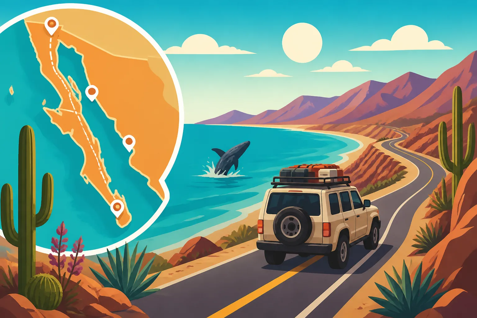
Federal Highway 1 runs roughly 1,700 kilometres from Tijuana to Cabo San Lucas. On a map it looks manageable. In reality it’s a two-lane road, often without shoulders, with livestock, sharp curves and the occasional tope (speed bump) appearing out of nowhere. Plan for shorter driving days than you’d expect.
Choosing Your Direction and Pace
Most people drive north to south. You get the wine country and border logistics done early and finish with beaches and a flight home from Los Cabos. Going south to north works just as well if your flights work better that way.
For pace, I’d suggest at least ten days for a full one-way drive and two weeks if you can. Rushing Baja in five or six days means long, tiring hours behind the wheel. You’ll also be tempted to keep driving after dark, which is the one thing I really don’t want you to do. More on that below.
Suggested Stops and Overnights
Here’s a route I recommend to friends. It assumes a north-to-south trip with a comfortable pace.
| Segment | Suggested Overnight | Suggested Nights | Highlights |
|---|---|---|---|
| Tijuana to Ensenada | Ensenada or Valle de Guadalupe | 2 | Wine tasting, fish tacos, La Bufadora blowhole |
| Ensenada to El Rosario | San Quintín or El Rosario | 1 | Farm country, last big services before the desert |
| El Rosario to Bahía de los Ángeles | Bahía de los Ángeles | 2 | Cataviña boulder fields, Sea of Cortez islands |
| Bahía de los Ángeles to San Ignacio | Guerrero Negro or San Ignacio | 2 | Whale lagoons in season, date-palm oasis |
| San Ignacio to Mulegé | Mulegé or Bahía Concepción | 2 | Santa Rosalía’s French-built church, turquoise bays |
| Mulegé to Loreto | Loreto | 2 | Historic mission, Loreto Bay marine park |
| Loreto to La Paz | La Paz | 2 | Malecón, Balandra beach, Espíritu Santo trips |
| La Paz to Los Cabos | Todos Santos, then San José del Cabo | 2 | Surf towns, art galleries, Land’s End arch |
Add those nights up and you get fifteen. That’s my ideal. If you only have twelve days, cut a night from Bahía de los Ángeles, Mulegé, Loreto and La Paz each. You’ll still see the main highlights.
Bahía de los Ángeles is a detour east off Highway 1, so allow extra time for the side road in and back out. It’s worth it. Waking up to that view of the Sea of Cortez islands is one of my favourite Baja moments.
Wine Country and the Northern Stretch
Don’t speed past the north. Valle de Guadalupe, just inland from Ensenada, has world-class wineries and some of the best restaurants in Mexico. The catch is that wine tasting and driving don’t mix, especially on unlit rural roads. Many visitors book a driver or a tour for their tasting day. Platforms like Viator list half-day and full-day winery tours from Ensenada and the valley itself. For more on how that works, see Valle de Guadalupe Wine Tours: Booking With a Driver.
Between Tijuana and Ensenada you’ll choose between the toll road and the free road. The scenic toll road along the coast is faster, better maintained and generally the safer option. Further south, Highway 1 has no toll alternative. For a broader explanation of the toll versus free road choice, see Driving in Mexico: Toll Roads (Cuotas) vs Free Roads (Libres).
On the Road: Fuel, Checkpoints, Safety, and Signal
This is where Baja gets real. None of it is dangerous if you plan, but all of it can catch you out if you don’t.
The Fuel Rule: Fill Up Whenever You Can
The biggest planning issue is fuel. Between El Rosario and the area around Guerrero Negro there’s a long stretch of roughly 350 kilometres with few reliable stations. In Cataviña, you may find locals selling fuel from containers by the roadside, but you can’t count on it.
My rule, and that of every Baja veteran I know, is simple. If you’re below half a tank and you see a station, fill up. Always. Some travellers carry a properly sealed jerry can for extra peace of mind, particularly with vehicles that have smaller tanks.
At the pump, a few habits keep you out of trouble:
- Make sure the pump is reset to zero before the attendant starts fuelling.
- Say clearly how much you want, either “lleno” for a full tank or a specific amount.
- Watch the transaction and count your change.
- Carry cash in pesos, because card machines in remote stations are not always working.
- Tip the attendant a small amount if they clean your windscreen or check your tyres, as is customary.
Military and Agricultural Checkpoints
You’ll pass through several military checkpoints along Highway 1. To a first-timer, young soldiers with rifles can feel intimidating. In my experience they are almost always polite and professional.
Slow down, open your window, remove your sunglasses and answer questions simply. Usual questions are “¿De dónde viene?” (Where are you coming from?) and “¿A dónde va?” (Where are you going?). They may ask to look inside your vehicle. Stay calm, stay close to watch, and you’ll be on your way in minutes.
When you cross from Baja California into Baja California Sur near Guerrero Negro, there’s also an agricultural inspection. Your vehicle may be sprayed for pests, and fresh fruit and some produce may be taken. Eat your apples before you reach the state line.
That state line also brings a time zone change. From early November to mid-March, Baja California Sur is one hour ahead of Baja California; the rest of the year the two share the same time.
If a police officer rather than a soldier stops you elsewhere on the route, the etiquette is a bit different. See What to Do If You’re Pulled Over by Police in Mexico.
Why You Should Never Drive After Dark
This is my one non-negotiable piece of advice. Do not drive Highway 1 at night.
Cows, horses and goats wander onto the road. Many sections have no lighting, no reflective markers and steep drop-offs beside narrow lanes. A dark-coloured cow standing on a dark road is almost invisible until it’s too late. Trucks also drive fast at night, and the lack of shoulders leaves you nowhere to go.
Plan each day so you arrive before sunset, with an hour of slack in case of delays. In winter the days are short, so start early. For more on road safety habits across Mexico, see Is It Safe to Drive at Night in Mexico? Road Safety Tips for Expats.
If you break down, the Ángeles Verdes (Green Angels) are a government roadside assistance service that patrols federal highways. You can reach them by dialling 078. The assistance itself comes at no charge, though you pay for any parts you need. Tipping the crew is a kind gesture.
Phone Signal and Offline Navigation
There are long sections of central Baja where your phone will show no signal at all. Download offline maps for the whole peninsula before you leave the border area. Share your daily itinerary with someone at home. Agree on a time when you’ll check in from your hotel’s Wi-Fi.
For a detailed look at where coverage drops out and which networks perform best, see Coverage in Baja: Signal Along the Transpeninsular Highway.
Where to Stay, What to See, and How to Get Around Without a Car
Booking Accommodation Along the Route
In the bigger towns, such as Ensenada, Loreto, La Paz, Todos Santos and Los Cabos, you’ll have plenty of choice, from boutique hotels to beachfront rentals. In smaller places like El Rosario, Cataviña and San Ignacio, options are limited to a handful of motels and small family-run inns.
My approach is to pre-book the first night after the border and any night in a small town during busy periods. Whale season is a busy period. So are Christmas and Semana Santa. I stay flexible elsewhere. Booking.com is handy for comparing rooms in the larger towns and reading recent reviews about parking and hot water. In tiny settlements, calling or simply turning up in the afternoon often works just as well.
Secure parking matters more than you might think. Look for hotels with an enclosed lot or a guarded courtyard, especially if you’re carrying gear on a roof rack. For accommodation ideas in the south, see Where to Stay in La Paz and Baja Sur: Beyond the Resorts.
Whale Watching, Beaches, and Must-See Detours
If your trip falls in the winter whale season, roughly from mid-winter into early spring, plan at least one day around grey whales. They come into Baja’s Pacific lagoons to give birth. Laguna Ojo de Liebre near Guerrero Negro and Laguna San Ignacio are the most famous spots. Magdalena Bay, west of Ciudad Constitución, is another option further south.
Local operators run small boats from shore. Some travellers book ahead through platforms like Viator, particularly in peak weeks. Seeing a mother whale and her calf glide right up to your boat is something you’ll remember for the rest of your life. For timing and operator tips, see How to Go Whale Watching in Baja California.
Beyond the whales, my favourite stops include:
- Bahía Concepción: Its string of calm, turquoise coves south of Mulegé is perfect for kayaking and lazy camping.
- Balandra: This shallow, sandy bay near La Paz looks almost unreal on a sunny morning.
- Todos Santos: A laid-back Pacific town with galleries, surf breaks and good restaurants.
- The Sierra de la Giganta: The rugged mountains behind Loreto, where the old Mission San Javier sits at the end of a winding road.
For a fuller list of coastline highlights, see What Are the Best Beaches in Baja California?.
Travelling Baja by Bus Instead
Not everyone wants to drive, and that’s fine. Long-distance buses run the length of Highway 1, connecting Tijuana, Ensenada, Guerrero Negro, Santa Rosalía, Loreto, La Paz and Los Cabos. Busbud is one way to check routes and buy tickets in advance if you’d rather not queue at the terminal. Expect long rides through the central desert, so pack snacks, water and a warm layer for the air conditioning.
The trade-off is flexibility. Buses won’t drop you at a remote beach or whale lagoon. A mixed approach works well. Take the bus between major towns, then join local tours or take taxis for day trips. If you’re also thinking about the bigger picture of the region before you go, see Baja California: Beaches, Wine, and Whale Watching.
A Simple Pre-Departure Checklist
Before you leave the border, run through this list:
- Passport with your FMM stamped.
- Printed and digital copies of your Mexican auto insurance policy.
- Vehicle registration, plus a letter of permission if the car isn’t in your name.
- Driver’s licence.
- Cash in pesos for fuel, tolls, checkpoints, tips and small towns.
- Offline maps downloaded for the entire peninsula.
- Spare tyre checked, jack and tools in the car.
- Plenty of drinking water and some snacks.
- A first aid kit, sunscreen and a hat.
- Your daily itinerary shared with someone back home.
Baja rewards travellers who slow down. Leave room for unplanned stops: a taco stand with a queue of locals, a mission church on a quiet hill, or a beach you didn’t know existed. Some of my best memories came from those detours. If you do the planning above, you’ll be free to enjoy them.
Disclaimer
This article is for general informational purposes only and does not constitute professional advice. Laws, prices and regulations vary by location and change over time. Consult a qualified professional for guidance on your specific situation.